15 January: a local eruption recorded worldwide
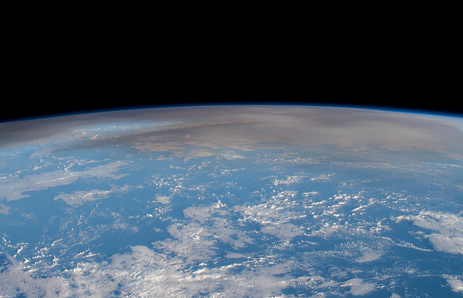
On 15 January 2022, the explosive eruption of Hunga Tonga–Hunga Ha’apai in the Pacific produced an enormous atmospheric plume and waves recorded far from Tonga. Satellites observed expanding rings, ground stations measured pressure disturbances, and ocean observations recorded a tsunami. Those signals involve different physical media. Considering them together reconstructs the event more effectively than a single spectacular video. Global detectability does not mean equal destructive force everywhere: an instrument can measure a wave that no longer presents the same hazard as it did close to its source.
How the plume’s height was measured
An Oxford-led study estimated the cloud’s maximum height at roughly 57 kilometres, placing its uppermost portion in the mesosphere. For such an exceptional event, the usual cloud-top temperature method is problematic: atmospheric temperature does not decline uniformly with height through every layer. Researchers instead used parallax, the change in the cloud’s apparent position when viewed by different geostationary satellites. The record therefore rests on a particular geometrical method, rather than the visual impression of a large white circle on a map. The highest point also does not describe the altitude of the entire ejected mass.
Why pressure signals travelled around the planet
NOAA describes the atmospheric pressure wave circling Earth over several days. Research presented by USGS distinguishes the Lamb wave and other seismoacoustic signals; the amplitude of that wave placed the climactic explosion alongside the 1883 Krakatau eruption. That comparison concerns a particular measurement. It should not automatically become a claim that every consequence of the two disasters was equivalent. Repeated detection is especially valuable: consistent arrival times at distant stations establish propagation, while an isolated barometer excursion without context would have far less explanatory power.
Tsunamis and atmospheric waves are connected questions
For an eruption near the ocean surface, analysing water motion alone or the air-pressure wave alone is insufficient. Atmospheric disturbances interact with the sea surface, and processes close to the volcano also contribute to wave generation. Research on the global response therefore considers a combination of mechanisms. Calling a signal a tsunami does not mean that every recorded oscillation followed the same route from its source. Wave height at a particular coast depends on ocean and shoreline geometry; it cannot be read directly from the height of the volcanic plume.
Stratospheric water was a separate discovery
Measurements by the Microwave Limb Sounder on the Aura satellite supported an estimate of about 146 ± 5 teragrams of water vapour injected into the stratosphere, roughly ten per cent of that layer’s normal water inventory. NASA emphasised how unusual the injection was in the satellite era. The percentage refers specifically to the stratosphere, rather than a ten-per-cent increase in all atmospheric water. This distinction matters: even a large percentage in a relatively dry layer does not represent the same change in the global inventory. Cloud height, pressure disturbances and water quantity were measured through different methods.
What is measured and what requires modelling
Explanation has not made the eruption less extraordinary: it enabled simultaneous study of the volcano, ocean and upper atmosphere. Yet observing additional water vapour does not, by itself, determine the size of subsequent global warming. That requires calculations involving radiation, water residence time and other volcanic constituents. Our assessment rests on the agreement of satellite and ground measurements: the global waves and high plume have an established geophysical source. Remaining uncertainties concern the contributions of individual processes and lasting effects, rather than a need for a supernatural mechanism.