What the lunar marker represents
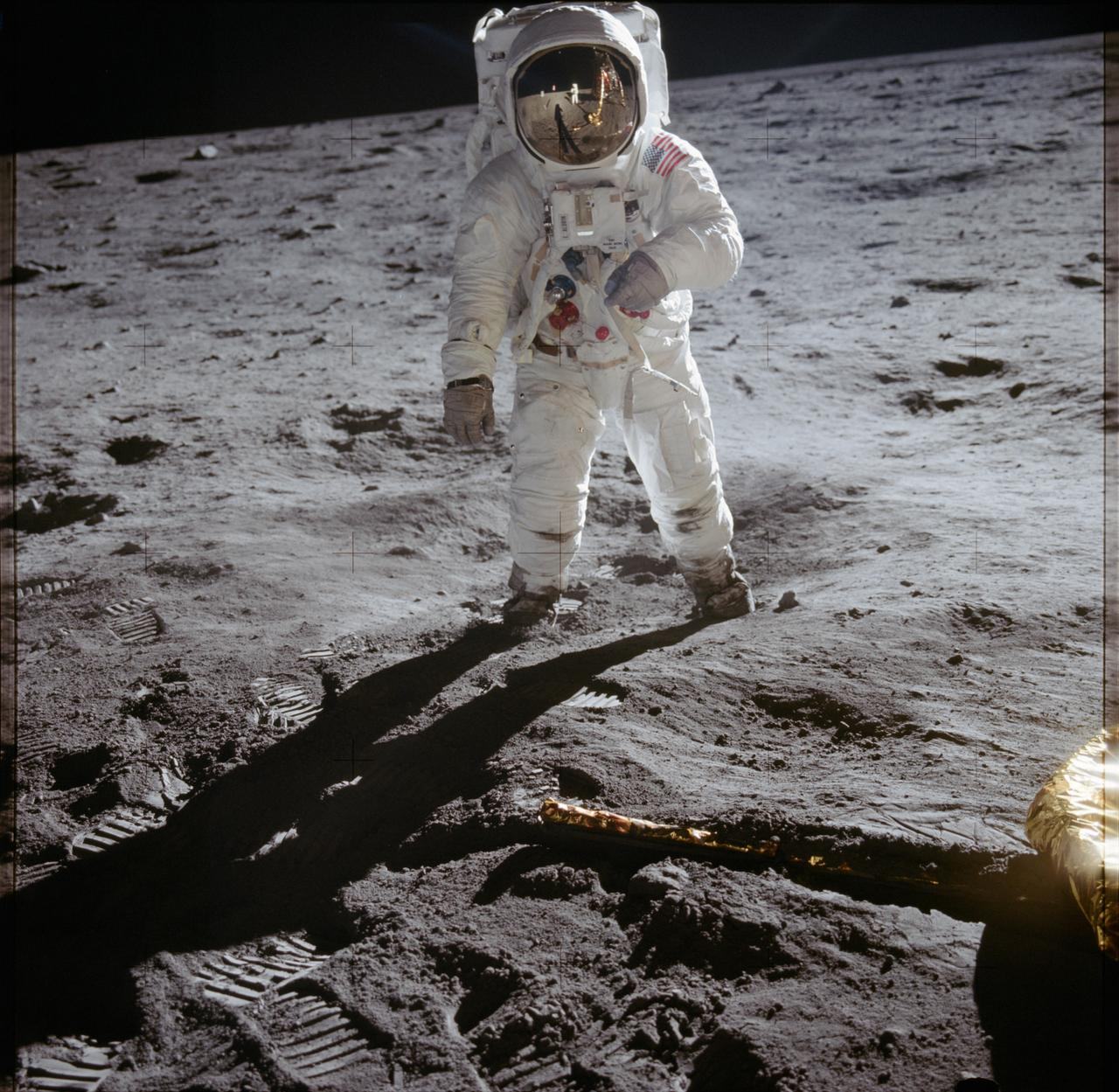
The marker identifies Eagle’s landing site in Mare Tranquillitatis, the Sea of Tranquility. Neil Armstrong and Edwin Aldrin worked on the surface while Michael Collins remained in lunar orbit aboard the command module Columbia. This distinction matters: one expedition involved several spacecraft elements and different trajectories. A surface point refers to the lunar module, not to Apollo 11’s entire journey or to a supposed unidentified object.
How the landing unfolded
During the final descent Armstrong saw that the projected landing area lay near a substantial crater and dangerous boulders. He changed the spacecraft’s motion to continue beyond that terrain and select a more suitable surface. NASA’s detailed account relates this sequence to engine operation, control modes and mission time. Such a chronology is more useful than an isolated dramatic frame because crew actions can be compared with the technical conditions of a particular flight phase.
Why two dates appear in accounts
Eagle touched down on 20 July 1969 at approximately 20:17 UTC. Armstrong’s descent of the ladder and first contact with the ground followed at around 02:56 UTC on 21 July, after system checks and preparations for the excursion. The landing date and the first-step date should therefore not be substituted for one another. The American local date of the television broadcast can also differ from the UTC calendar date without creating a contradiction in the sequence.
What happened on the surface
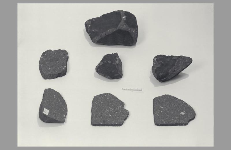
The astronauts examined and photographed the site, collected samples and deployed scientific experiments. NASA’s catalogue distinguishes field-geology investigations, solar-wind research, seismic work and other measurements. Different material answers different questions: a photograph records a site’s appearance, a sample permits analysis of matter, and an instrument record describes changes in a physical quantity. One image should not be expected to replace those separate lines of investigation or to validate any interpretation attached to the mission afterwards.
How accurate is our marker?
Our globe uses the lunar-module coordinates in NASA/NSSDCA’s landing-site table: 0.67416° north and 23.47314° east. That table is based on Lunar Reconnaissance Orbiter imagery and identifies its lunar reference system. Earlier summaries contain slightly different values. Comparisons should account for the mapping framework and improvements in positional control. The general lunar view on this website is not a survey plan, however: the location of an on-screen symbol does not establish accuracy at the scale of a display pixel.
How to assess the record
The landing can be checked through mission documentation, event times, experimental material and later imaging of the region. This combination separates an actual trace of human activity from a chance shadow shape on a map. A claim about an unusual object near the base requires its own original evidence; the credibility of the mission cannot simply be transferred to a new hypothesis. Documented human presence on the Moon does not, by itself, establish visits by another civilisation.